
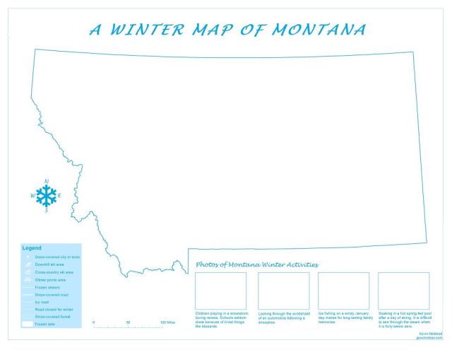
It is cold and snowy here in the Big Sky Country. But most of us don’t complain, and many of us get excited when the white stuff starts to fall from the sky. I live in one of the warmer parts of Montana, so this week it shouldn’t get any colder than –16° F (that’s about –27°C for all of my non-American friends).
This map is a very accurate depiction of what my home state looks like this week. I created “A Winter Map of Montana” for the July 2017 Esri User Conference in sunny San Diego, and it was on display along with about a thousand other maps in the Map Gallery. The Esri UC is a gathering of mapping and geography nerds, dedicated to making the world a better place using Geographic Information Systems (GIS). I’m sharing my Winter Map with the world now; I hope you enjoy my celebration of Montana winter.
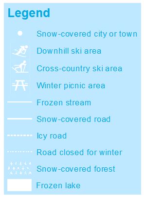
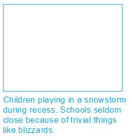
Here are a few closeups:
Click here to download PDF: Montana Winter Map GeoChristian.com
The map was created using an Esri ArcGIS home use license. The PDF was exported to print at 34×44 inches, but it scales nicely to a 8.5×11 format.

Very nice.
I’m a QGIS man now. I’m way too cheap to invest in ArcGIS.
LikeLike
Ted — At work I have a full set of ArcGIS licenses (Advanced, 3D Analyst, Spatial Analyst, Production Mapping, and many more extensions), but I created this map at home with a $100 per year home use license. I have used the home use license to provide maps for some missionaries and missions conferences. Because I have had access to ArcGIS since the late 90s (back when it was ARC INFO), I have never taken the time to seriously learn QGIS, though I have heard it can do a lot.
LikeLike
I found it pretty intuitive overall, considering it’s free open-source software. It certainly seems to be well-stocked in the various geoprocessing tools which I rarely use. I use it for basic mapping capabilities – compiling geological data, historical exploraiton data work, mineral tenures and the like. Most of my report illustrations and maps are finalized in a drawing program though, but you can produce very nice maps right out of the program.
LikeLike